- Index
- Scot Gate Ash Walking Route
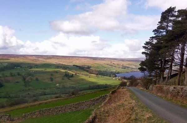
Scot Gate Ash walking route
Scale the north side of Nidderdale to explore the heritage of Pateley Bridge’s early years as a significant town
About Scot Gate Ash walking route
Nearby businesses

Talbot House
Step into history at Talbot House, a charming 18th-century former coaching… Step into history at Talbot House, a charming 18th-century former coaching inn.

George's
George’s is your destination for preloved furniture, unique collectibles,… George’s is your destination for preloved furniture, unique collectibles, and beautiful indoor plants!

High Street Fisheries
Located in the heart of Pateley Bridge, High Street Fisheries is a… Located in the heart of Pateley Bridge, High Street Fisheries is a family-owned, traditional fish and chip shop offering a diverse take-away menu.

The Willow B&B
An enchanting 18th century apartment and cottage in the centre of Pateley… An enchanting 18th century apartment and cottage in the centre of Pateley Bridge