- Index
- Cleveland Way
Cleveland Way National Trail
The Cleveland Way is 109 miles of ever changing and beautiful landscapes and scenery.
About Cleveland Way National Trail
The Cleveland Way is 109 miles/175km long, with points of interest every step of the Way, enjoying the North York Moors and Coast.
Starting from the attractive market town of Helmsley, The Cleveland Way heads across the stunning North York Moors, before reaching the coast at Saltburn.
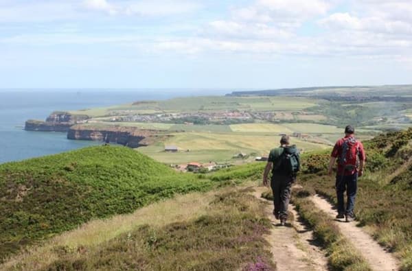
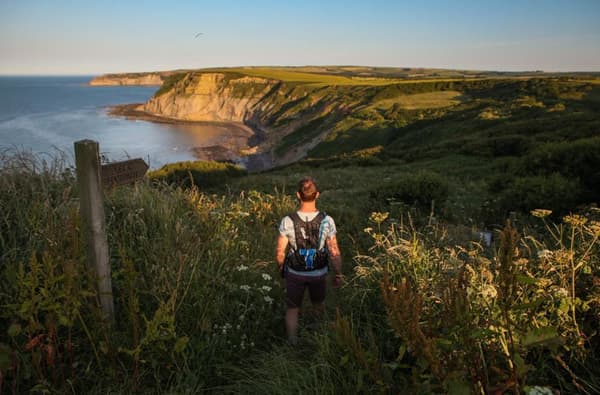
From here there’s a visual feast along the dramatic North Yorkshire coastline to Filey, passing through old fishing villages, such as Robin Hood's Bay and lively coastal towns such as Scarborough and Whitby. Anyone who is reasonably fit can walk the Cleveland Way.
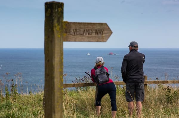
The route is challenging in places, especially on the Cleveland Hills and some of the coastal sections, but this adds to the overall experience. Whilst the route is well-signed throughout, an up-to-date map or GPS mapping is essential.
You can walk the Cleveland Way at any time of year but if you want to see the moorland heather in bloom, the best time to visit is late August and early September.
Most people walk the route in a clockwise direction from Helmsley to Filey as you are likely to have the wind behind you. But there is no right or wrong way and plenty of people enjoy walking the route in the opposite direction. You can even access the route in bite size sections along the coast taking in some of the most scenic coastal views.
Downloadable easy access routes can be found on the National Trail website - including a more challenging 5-mile circuit at Sutton Bank suitable for people with a wheelchair, mobility scooter, hand cycle mountain bike or mountain trike.
