Nidderdale National Landscape
233 square miles filled with diverse habitats and incredible scenery
- Protected Landscapes
- Nidderdale National Landscape
The Nidderdale National Landscape is 233 square miles filled with diverse habitats and varied scenery stretching from the high fells of the Yorkshire Dales to the edge of the Vale of York.
Pretty Dales villages in Nidderdale, North Yorkshire
This makes the Nidderdale Landscape one of transition along the River Nidd as the surrounding scenery transforms from hills and rocky gradients to gently rolling farmland.
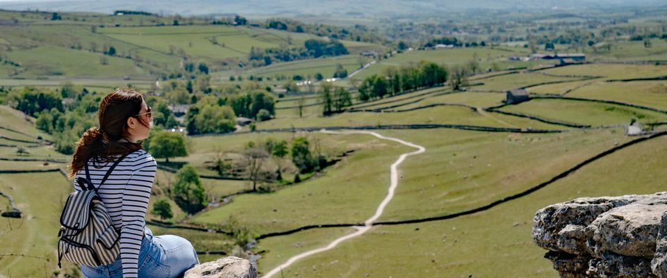
This provides great variety for walking and exploration. The top of the River Nidd at Scar House Reservoir offers a circular walk around its edge under heather-clad hills with the sound of wading birds chattering all around you. Further down the valley, gentle grassland and woodland walks connect the pretty villages that line the river making for idyllic and relaxing strolls.
Nidderdale: A landscape of water
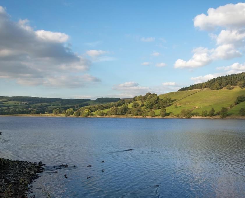
The Nidderdale landscape has one thing at its heart that you cannot help but notice, its water. Whether that is the rivers, reservoirs, lakes rich with wildlife or the UNESCO World Heritage Site of the Studley Royal Water Garden. Water has shaped this landscape, once gouging the valley in the form of glaciers, now flowing, exploring, bursting forth and then disappearing underground.
The Washburn Valley forms the southern part of the landscape and is popular for its four reservoirs, two of which are designated Dark Sky Discovery Sites.
Alongside the reservoirs there are mountain bike trails, popular walks and several areas of habitat particularly popular with bird watchers.

In the north of the National Landscape are the rolling hills of Colsterdale and Mashamshire, packed with historical curiosities and follies, including a recreation of a mystical henge, a beautiful woodland and a proud stone tower visible atop the moorland. Pretty villages are peppered across the landscape between open swathes of heather moorland.
You might not know it now, but the Nidderdale National Landscape was once a hotbed of industry with mining and quarrying works across its hills and valleys, served by numerous railways; incline, narrow gauge and a standard branch line connection to Harrogate.
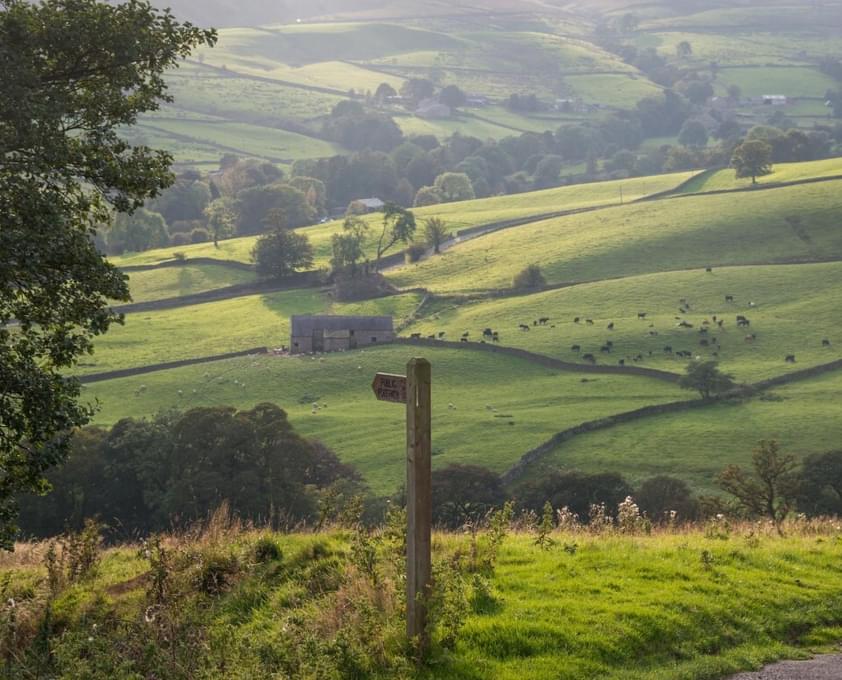
Once you know where to look you will see the quarry faces, the bridges and station houses, as well as the smelting flues and chimneys, often reclaimed by nature but still standing out above their landscape, now farmed with sheep and cows.
Rich in tradition, journeys through Nidderdale are often paused by cows being taken in for milking, or sheep being moved to new grazing land with nimble sheepdogs rounding up any stragglers.
Nidderdale is a working landscape you won’t be able to help but fall in love with.

Find out more
This legally protected landscape is a treasure trove of contrasts, steep remote fells and gently rolling hills, to find out more about how it is protected and conserved visit their website.
